
Monitoreo comunitario PPD
by Laboratorio Nacional de Geointeligencia (GeoInt)
🆓 free
4.9/5
( 215+ reviews)
Features Monitoreo comunitario PPD
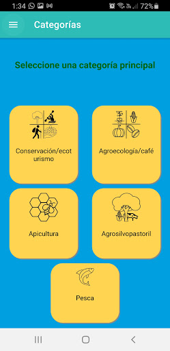
It allows captures of geographic areas such as points, polygons or georeferenced lines on an interactive map and classifies them in threats to the environment or development opportunities
🍽️
Food & Dining
Discover recipes and order food from your favorite restaurants.
👶
Parenting Tools
Track and manage your child's development and daily activities.
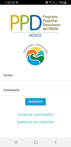
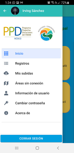
Screenshots
See the Monitoreo comunitario PPD in Action
Get the App Today
Download on Google Play
Available for Android 8.0 and above